Our Services
Data processing and mapping
The first large-scale mapping of data was probably Charles Booth’s map of poverty in London, created in 1889 and updated until 1903. This mapping of social classes (https://booth.lse.ac.uk/), based on quantitative and qualitative approaches, highlighted the spatial component and environmental context of poverty for the first time.
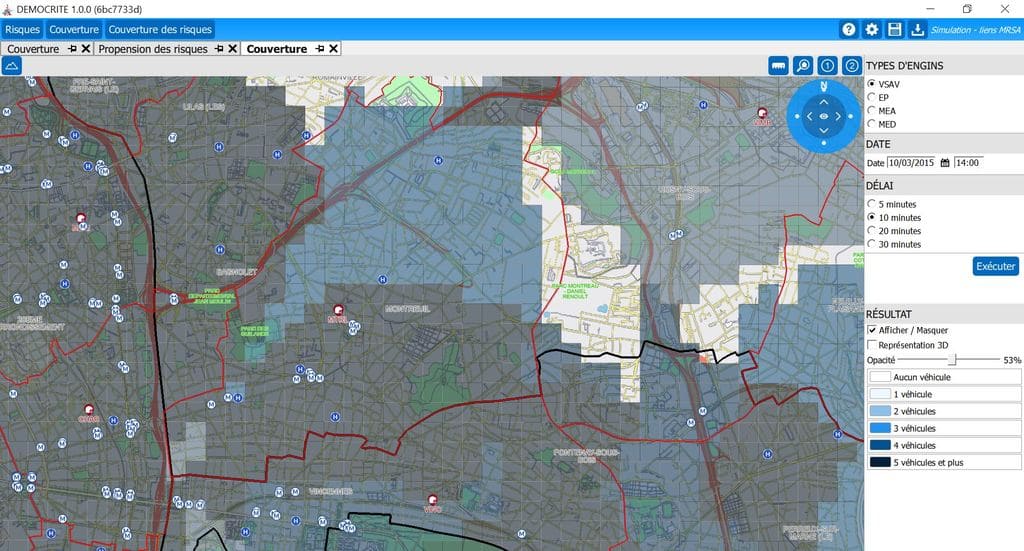
Risk analysis is highly dependent on the territory in question. It is often crucial to use geographic information systems (GIS) to understand the complexity of hazards and the spatial relationships between hazards and issues.
Do you have data (even patchy or in non-standard formats) that you would like to display geographically? Do you have several sources of parcel-based information, geographical or otherwise, and would like to merge them for better analysis?
APEX solutions can develop processing scripts tailored to your data, and produce maps that can be used with GIS tools such as the free, open-source QGIS Geographic Information System (https://www.qgis.org/fr/site/).